Move your mouse over image or click to enlarge
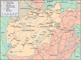
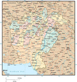
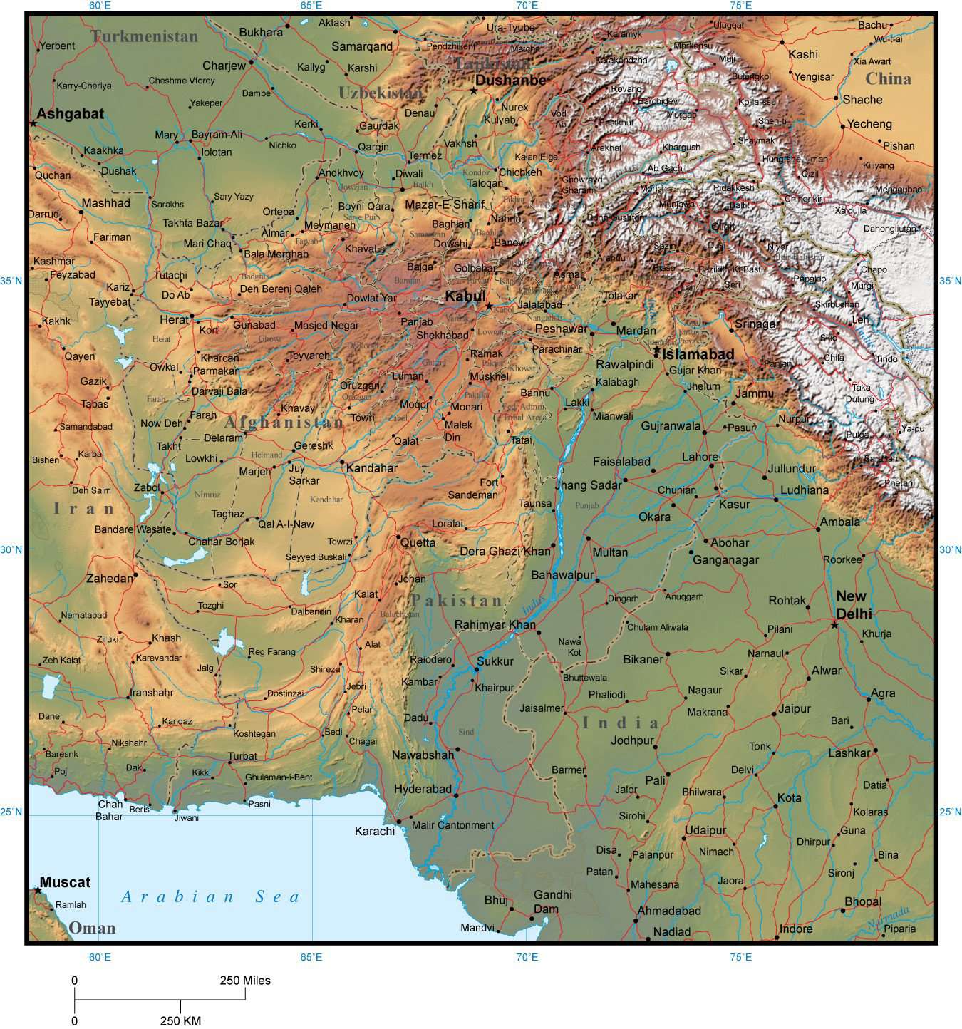
Afghanistan & Pakistan Map with Provincial Boundaries plus Terrain
AFG-XX-955411About This Map
Includes terrain relief image in the land with country borders, major cities, rivers, and roads.In Illustrator format the background terrain is a 300 dpi CMYK Photoshop file, so you can alter the background colors easily to your design specifications. The map is about 8.5 x 8.5 inches, so the terrain file is about 2550 x 2550 pixels.
Perfect for page size color illustrations in proposals or reports.
How Will I Download My Digital Map File?
Your receipt page will have a link to download your file, and you will receive an email with the same link. The link will be active for 30 days.
30 Day Money-Back Guarantee!
Download a Sample Map
See for yourself why our maps are the best! Download a fully editable sample map in Adobe Illustrator or PowerPoint Format.
Can't Find the Map You Need?
We can make one for you. Here's how to get a custom map...
Similar Maps