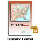
Premier USA
About This US State Map Collection
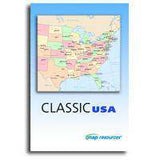
USA and US state map collection of page size maps suitable for many print and web projects. An outstanding value because you get over 300 high quality maps for only $399.
304 maps of the USA and all 50 states
- Download a PDF map guide showing thumbnails of all 304 maps
- 8 USA maps with cities, roads, rivers and more
- All 50 states; 6 versions of each state
- State maps with county boundaries, county names, county seats, and cities/towns
- State maps also show major highways, rivers, lakes, etc
- Includes our Fit-Together state maps
Layered vector maps are easy to use
- Edit all colors, lines, and text with Adobe Illustrator
- Features saved in separate layers - easy to turn on or off
- All text is font-based - (not outlines)
- Areas (such as counties) drawn as objects
Royalty Free for most print and web uses.
Includes immediate online download access.
How Will I Download My Digital Map File?
Your receipt page will have a link to download your file, and you will receive an email with the same link. The link will be active for 30 days.
30 Day Money-Back Guarantee!
Download a Sample Map
See for yourself why our maps are the best! Download a fully editable sample map in Adobe Illustrator or PowerPoint Format.
Can't Find the Map You Need?
We can make one for you. Here's how to get a custom map...
Similar Maps

