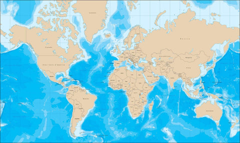
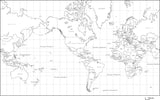
World Map with Political Boundaries and Contours in the Water with Country Names in Italian
About This World Map with Contours and Country Names in Italian
Includes contours in the water, with country borders.
In Illustrator format, all contour lines and areas are fully editable vector objects, in separate layers, so you can easily change the colors as needed.
Perfect for color illustrations in print or web design.
A proposito di questa mappa del mondo con contorni
Include contorni in acqua, con confini nazionali.
Nel formato Illustrator, tutte le linee di contorno e le aree sono completamente oggetti vettoriali modificabili, in strati separati, in modo da poter modificare facilmente i colori in base alle esigenze.
Perfetto per le illustrazioni a colori in stampa o di web design.
Dopo l'acquisto la pagina di ricevuta ̬ un link per scaricare il file.
How Will I Download My Digital Map File?
Your receipt page will have a link to download your file, and you will receive an email with the same link. The link will be active for 30 days.
30 Day Money-Back Guarantee!
Download a Sample Map
See for yourself why our maps are the best! Download a fully editable sample map in Adobe Illustrator or PowerPoint Format.
Can't Find the Map You Need?
We can make one for you. Here's how to get a custom map...
Similar Maps

