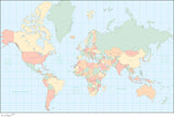
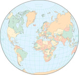
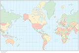
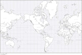
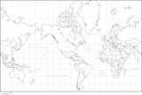
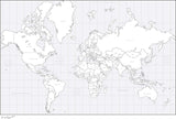
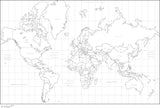
Simple World Maps with Country Borders
Simple World Maps with each country a separate object you can select and modify, such as change the color fill. Great for creating illustrations showing classifications for each country, or regions such as international sales territories.
You can use the map as-is, or use the graphic tools in Adobe Illustrator, PowerPoint (or Keynote) to customize the map to your needs.

