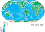
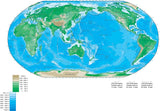
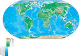
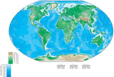
World Contour Maps - Adobe Illustrator Format
World maps in a variety of shapes and sizes, with elevation contours in the land, and/or bathymetry depth contours in the ocean areas.
All in Adobe Illustrator vector format, all fully editable, with all the line features (contours, coastline, borders, rivers, major roads, etc) and text features (country names, city names, etc) in layers.


